Knox Country Map Guide (Build 42.19): Towns, Labels, Travel
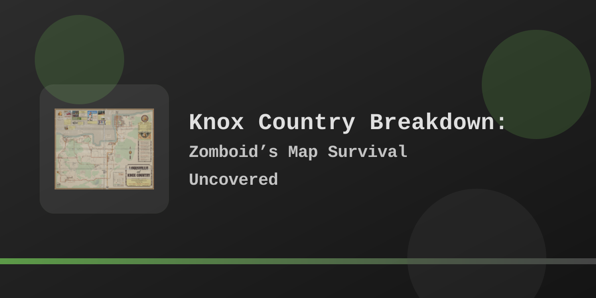
Build 42.19 map overview: town and landmark labels with in-game coordinates (lower Y is farther north).
Quick facts
- Name: Players usually say Knox Country; older writing may say Knox County. Newspapers and radio still say “Knox area / Knox region.”
- On the map: Town names and pins match the English in-game world map labels for Build 42.19.
- Not on this guide: Fixed “20,000+ Louisville zombies,” “map grew 4×,” “safest base in the game,” or unproven bridge-massacre lore.
- Character-create starts: Brandenburg, Echo Creek, Ekron, Fallas Lake, Irvington, March Ridge, Muldraugh, Riverside, Rosewood, Valley Station, West Point. Louisville is on the same continuous map, not a separate start town.
- Related tools: in-game map use, online map viewer guide, spawn picker notes.
Town map labels
Current English town labels on the world map. Coordinates are the map pin positions the game shows—not exact building centers, but enough to tell which band of the map you are in.
| Map label | Approx. X, Y | Relative band | Practical role |
|---|---|---|---|
| Louisville | 13077, 2238 | Far north-east | Largest urban endgame district; hospital, airport, malls, dense streets |
| Valley Station | 13447, 5278 | North-east, south of Louisville | Suburban / commercial belt toward Louisville; Crossroads Mall nearby on labels |
| Riverside | 6450, 5430 | North-central, Ohio River | River town, country-club wealth, common low-pressure start |
| Brandenburg | 2056, 6070 | North-west | B42 western city; detention center and riverside industry labels |
| West Point | 11654, 6864 | North-central / east | Dense classic high-pressure town on the river corridor |
| Fallas Lake | 7253, 8279 | West-central | Small lake community; sits in the Doe Valley landscape band |
| Ekron | 634, 9746 | Far west | Rural west hub; college / industry print-media presence; Meadshire Estate nearby |
| Muldraugh | 10754, 9926 | Central east | Default “middle of the map” strip town; warehouses, McCoy’s Logging nearby |
| Echo Creek | 3589, 10952 | South-west | B42 rural town between Ekron belt and Rosewood / Irvington routes |
| Rosewood | 8159, 11661 | South-central | Civic services start; Kentucky State Prison labeled just east |
| March Ridge | 10130, 12801 | South-east of Muldraugh | Planned community with military flavor in newspapers |
| Irvington | 2427, 14185 | Far south-west | Southernmost labeled town; Speedway labeled north-west of town |
| Ohio River | multiple anchors | Northern water edge | Major northern water body label chain |
| Salt River | ~12500–13300, 6700–7350 | East of West Point band | Secondary river system east of the West Point / Louisville approach |
How the map is laid out
North → south (lower Y → higher Y)
Louisville sits at the top of the playable urban stack. Moving south you hit Valley Station / Riverside / Brandenburg bands, then West Point, Fallas Lake, the Muldraugh–Ekron band, Echo Creek / Rosewood, March Ridge, and finally Irvington.
West → east (lower X → higher X)
The B42 expansion fills the western half: Ekron, Brandenburg, Irvington, Echo Creek. Classic B41 weight remains center-east: Rosewood, Fallas Lake, Muldraugh, West Point, Valley Station, Louisville.
Every town sits on one continuous Knox Country map. Named start towns only change where you appear—they are not separate worlds.
Core towns (B41 era + Louisville)
Rosewood ~8159, 11661
Compact civic hub: fire department, police, school, and administration-style buildings clustered near the center.
Kentucky State Prison is labeled near 7683, 11877—high risk, high storage potential, not a day-one stroll.
For a dedicated town guide see
Rosewood B41 vs B42.
Muldraugh ~10754, 9926
North–south highway strip with industrial weight: warehouses, storage, logging-adjacent industry.
McCoy’s Logging is labeled near 10321, 9331 (north of the town label).
Strong for tools, generators, and building materials; weaker if you expect Louisville-tier commercial variety.
Map page: Muldraugh online map.
Riverside ~6450, 5430
River-edge town with affluent housing and West Maple Country Club labeled near 5726, 6509.
Often chosen for lower early pressure, but it is not “empty of services”: zone data includes police-tagged areas on the west side of town.
Do not plan as if firearms only exist in Rosewood/West Point—still prioritize real gun POIs on a map tool before long trips.
Related: Riverside map,
Riverside base notes.
West Point ~11654, 6864
Dense classic town on the northern river corridor. Expect multi-story commercial strips, tight residential blocks, and high noise risk. Treat downtown as a staged loot operation, not a starter suburb. Map notes: West Point expansion map.
Valley Station ~13447, 5278
East-side community sitting under the Louisville approach. Crossroads Mall is labeled near 13936, 5832.
Useful staging area if you are working north toward Louisville without living inside the densest blocks.
March Ridge ~10130, 12801
South of Muldraugh on the map labels. Newspapers place military-hospital and hazardous-material stories here; treat it as a planned community with military flavor, not as “open Fort Knox.” Fort Knox appears in lore as a nearby real installation, not a fully open vanilla fort you can walk into south of Muldraugh.
Louisville ~13077, 2238
Largest labeled urban area. Landmark pins on the map include:
- Louisville General Hospital (~12958, 2042)
- St. Peregrin Hospital (~12414, 3674)
- Louisville State University (~12412, 2257)
- Grand Ohio Mall (~13577, 1332)
- Louisville International Airport (~15466, 2914)
- Louisville Expo Center (~12976, 1292)
- Louisville Train Station (~12811, 2472)
Population is sandbox-dependent. This guide does not publish a fixed zombie total. More Louisville-focused notes: B42 Louisville page, Louisville online map.
Build 42 western expansion
Build 42 did not stop at “three new towns.” Current map labels include at least Brandenburg, Echo Creek, Ekron, Fallas Lake, and Irvington as distinct named centers on the western / south-western side of the map.
| Town | Label X, Y | Notable labeled neighbors | Planning notes |
|---|---|---|---|
| Brandenburg | 2056, 6070 | Brandenburg Detention Center (~1385, 5877); Pondview Shopping Center (~1910, 6370); PS Delilah (~2048, 5687) | Western city-scale loot; detention and riverfront industry raise risk |
| Ekron | 634, 9746 | Meadshire Estate (~4121, 9415); Coalfield (~3486, 8193) | Far-west hub; newspapers cover college, steel, and services. Staging point toward Irvington/Brandenburg routes |
| Echo Creek | 3589, 10952 | Between Ekron band and Rosewood / Irvington corridors | Rural B42 town—plan vehicle fuel before multi-town loops |
| Fallas Lake | 7253, 8279 | Doe Valley Forest / Lake landscape labels; Pony Roam-O (~8532, 8527) | Small community in the west-central interior; useful midpoint, not a mega-city |
| Irvington | 2427, 14185 | Irvington Speedway (~928, 13044); Camp Arthur (~8313, 14590) | Southernmost labeled town—long commute from classic starts. See Irvington raid notes |
Rural military-surplus shopping in the Doe Valley / Fallas Lake band includes Jamieton Army Surplus (correct spelling is Jamieton, not “Jameston”).
Named landmarks worth knowing
| Label | Approx. X, Y | Why it matters |
|---|---|---|
| Kentucky State Prison | 7683, 11877 | Near Rosewood; high density, storage / armory potential |
| McCoy’s Logging | 10321, 9331 | Industrial compound north of Muldraugh |
| Crossroads Mall | 13936, 5832 | Major mall label near Valley Station / Louisville approach |
| Grand Ohio Mall | 13577, 1332 | Louisville mall label |
| Knox Boundary Camp | 12518, 4258 | Military / quarantine flavor north of Valley Station band |
| West Maple Country Club | 5726, 6509 | Riverside-side wealth POI |
| Brandenburg Detention Center | 1385, 5877 | High-risk correctional complex west of Brandenburg label |
| Sunderland Hills Sanatorium | 4038, 6490 | Isolated medical complex in the western interior |
| Irvington Speedway | 928, 13044 | Large outdoor landmark north-west of Irvington |
| Camp Fitzgerald / Camp Arthur / Camp Camus | 13814,6703 / 8313,14590 / 4795,7925 | Scattered camp labels—use as navigation anchors, not guaranteed “safe zones” |
Travel, water, and borders
Roads and wrecks
Highways and town connectors still carry wrecks, abandoned cars, and military prop scenes. Clear a route once if you will reuse it; always keep a fuel reserve before multi-town loops into the B42 west.
Rivers
The Ohio River labels mark the major northern water body; the Salt River labels sit east of the West Point band. Louisville is part of the same continuous land map south of / along that northern water system—not a separate “north shore city” reached only by rebuilt bridges.
Bridges and borders
Do not plan around unproven stories about the Army demolishing every Ohio River bridge. Trust what you can see in-world: barricades, wrecks, walls, and labeled camps.
Map edges
Expect forest, water, or blocked edges rather than an open Kentucky interstate escape. For size context without “map is N× larger” folklore, see map size notes.
Base planning without myths
- Use existing geometry: fences, second floors, limited ground windows, garage access, and nearby water or farmland still matter more than community “S-tier base” lists.
- No absolute safety: gated neighborhoods, fire stations, warehouses, and mall roofs can all fail under noise, migration, vehicle crashes, or multiplayer pressure.
- Central vs remote: Muldraugh / Fallas Lake bands cut travel time; Echo Creek / Irvington / deep forest reduce foot traffic but punish bad fuel planning.
- Multi-safehouse pattern: one sorting base + one high-value outpost (for example Louisville outskirts or Brandenburg edge) is usually safer than a single “perfect” fortress.
- Water/power: rain collectors, wells where present, generator magazine knowledge, and fuel storage still decide long runs more than fancy architecture.
Starter-friendly bands
Rosewood civic block, Riverside edge housing, rural houses west of Fallas Lake / Echo Creek—if your sandbox population is still low and you keep noise controlled.
High-reward bands
West Point core, Brandenburg detention/industry, Louisville districts, prison, malls, airport—enter with a vehicle exit plan and a hard turnaround rule.
Lore vs map facts
Newspapers and radio set the 1993 Knox Event timeline: illness reports around Muldraugh / March Ridge, phone outages, military presence, and later quarantine chaos. Flavor you can actually find in-game includes Brandenburg tornado recovery stories, Irvington Speedway coverage, and Louisville FBI press events.
- Use lore for atmosphere: why roads feel militarized, why phones fail, why hospitals and camps exist.
- Confirm the map for navigation: if a bridge, wall, or building matters to your route, check it on your current build’s map—not on a rumor.
- Fort Knox: newspapers mention the real installation near Muldraugh; it is not a complete open vanilla fort you can raid as a base package.
FAQ
Is Knox Country still only Muldraugh, West Point, Riverside, and Rosewood?
No. Those four remain classic starts, but Build 42.19 also labels Brandenburg, Echo Creek, Ekron, Fallas Lake, Irvington, March Ridge, Valley Station, and Louisville.
Did Build 42 only add three towns?
No. Community shorthand often listed Brandenburg / Ekron / Irvington first, but the map also names Echo Creek and Fallas Lake as towns. Doe Valley is landscape text (forest / lake), not a town pin.
Where is Louisville relative to the Ohio River?
Louisville’s map pin sits in the far north-east of the playable map, with Ohio River labels along the northern water system. You approach Louisville over continuous land from the south (Valley Station / West Point side), not as an unreachable north-bank city behind “all bridges destroyed.”
Is there a default Louisville zombie count?
No. Any real count needs your sandbox settings and how far you roam. Relative danger (city ≫ small town) is enough for planning.
Should I install map expansion mods for vanilla Knox Country?
Not for content already in Build 42.19 vanilla. Third-party maps (extra towns, Fort Knox packs, river crossings) can conflict with the expanded official west. If you add mods, note Workshop ID, Mod ID, game build, and test SP/MP yourself before trusting them on a long run.
Related Articles